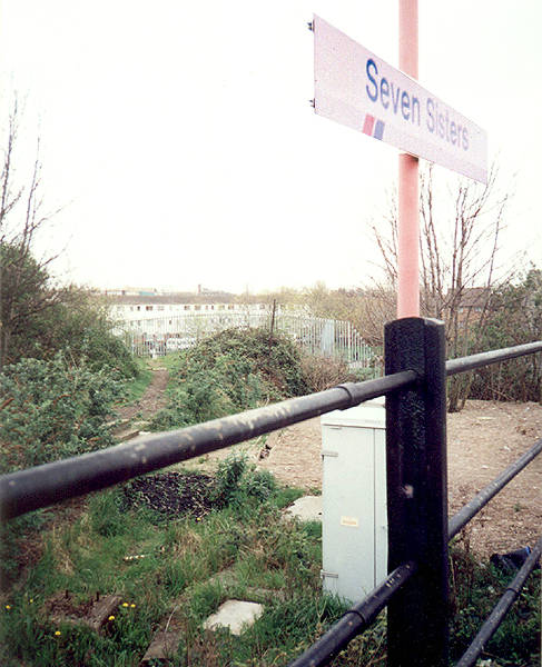
View of the line as it veers off from the existing Seven Sisters overground station in a North-Easterly direction (left hand side of photo).
(Apr 2001)
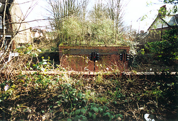
A closer view of the truncated spur at Seven Sisters. For a page showing the platform disused but still in situ, click here.
(Apr 2001)
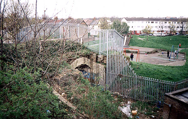
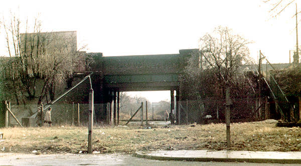
Under the bridge carrying Avenue Road. Facing east, back toward
Seven Sisters.
(Jan 2007)
Photo: Philip Lindhurst. © 2007
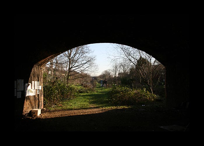
Similar view from the one above but showing the bridge and its
repairs.
(Jan 2007)
Photo: Philip Lindhurst. © 2007
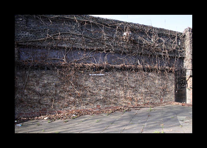
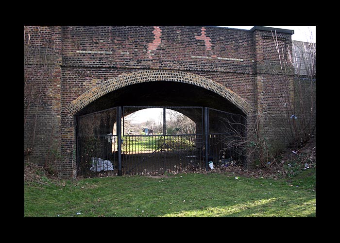
The bricked up remains of the bridge carrying Cornwall Road.
The enclosed space is now used as a storage facility.
(Jan 2007)
Photo: Philip Lindhurst. © 2007
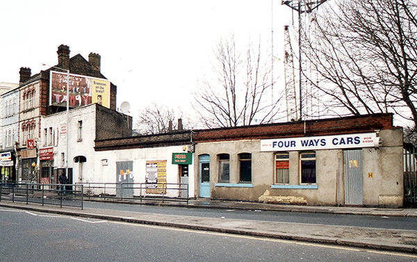
The remains of the coal office part of the station building at West Green Road, March 2001 (the passenger part was to the right of this).
Chris Hall informed that it was burnt out in June 2001. It was still there, albeit boarded up, in May 2002, but by August 2003 it had been demolished and replaced by a red-brick business site. Chris also made this interesting comment: "...although I'm sure the line could not have made much revenue because of its round about route, it - along with the Ally Pally branch - could have become light rail or tram routes had they survived long enough."
The track bed used to run under the road in the direction that the camera is facing but slightly to the right.
For a site showing the platform area before being levelled, click here.

Opposite the West Green Road station site is this wall. The track ran from left to right under the road, at an angle to the parapet - the house seen to the right of the photo is built on the in-filled line of the railway.
(July 2007)
Photo: Philip Lindhurst. © 2007
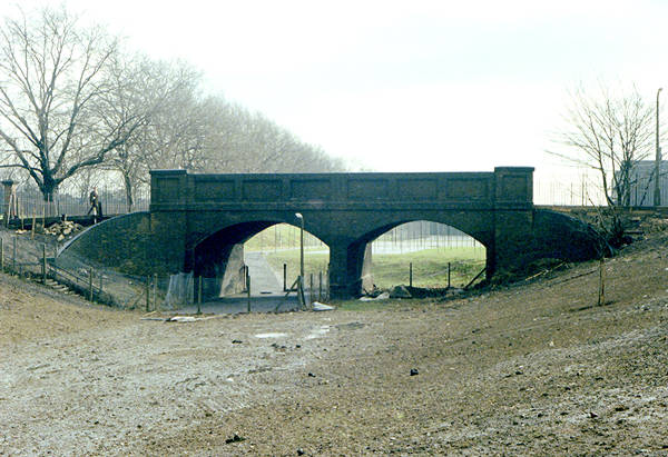
Heading toward the Palace Gates direction, this is the bridge
over Belmont Road.
(Jan 2007)
Photo: Philip Lindhurst. © 2007
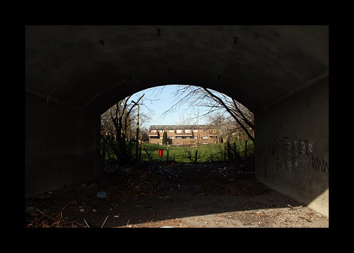
View under Belmont Road, with evidence of bridge repair work,
facing north-west at the housing estate listed on maps now as
Ivatt Way.
(Jan 2007)
Photo: Philip Lindhurst. © 2007
The bridge at Belmont Road viewed from its northern end.
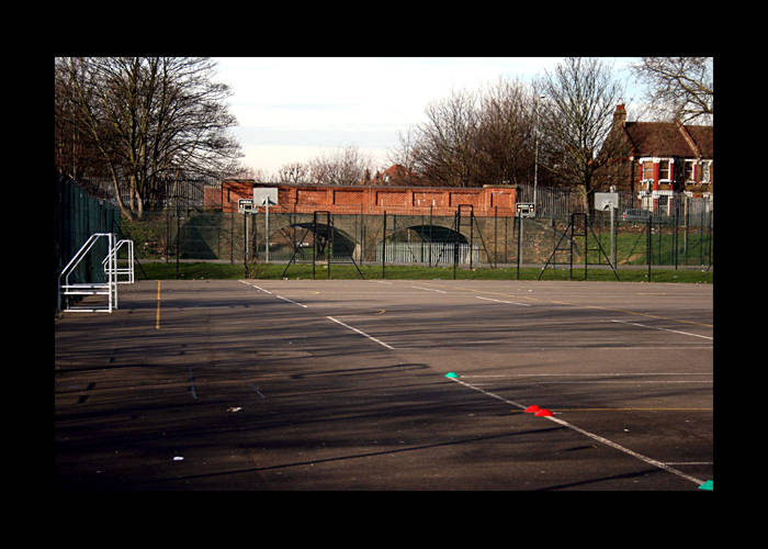
View eastwards from Westbury Avenue. Who would ever randomly pass this place now, not knowing of its history, and associate it with that of being an old railway?
(Feb 2004)
Eastward view of the bridge over Westbury Avenue (left) in the early 1980s, before the bridge reconstruction. Move your cursor over the image to see that same view in Feb 2004.
The opposite view, i.e. westward, from the position of the camera, would just show an ugly council estate built on the route of the line.
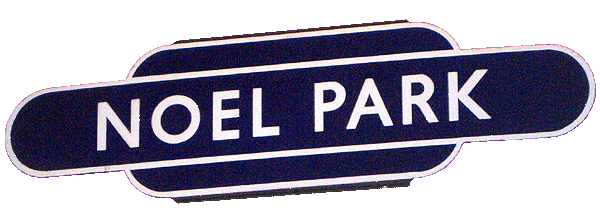
Noel Park station sign.
This used to be on display in the marvellous but now sadly closed North Woolwich Station Museum.
Park Avenue without its bridge but still with the abutments.
This is a north-eastern view, thus the left hand abutment leads to the Palace Gates station site.
(photo: Sep 2007)
Park Avenue, N22, a stone's throw from the old terminus at Palace Gates. The bridge over the road has obviously gone but the dip that the road still takes under the missing bridge makes it abundantly clear that a railway used to cross over it (not to mention the still extant bridge abutments).
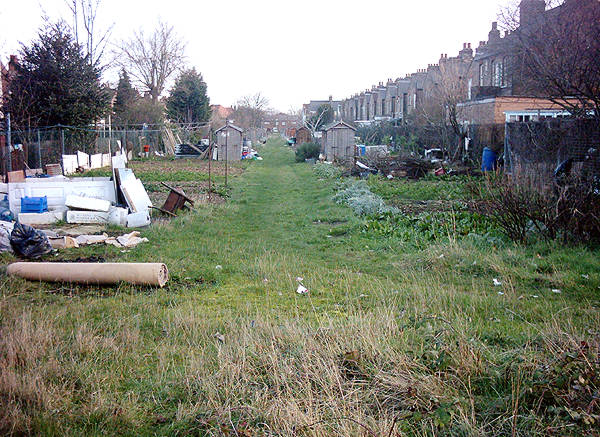
The section of track bed on the other side of the bridge leads to Station Road in Wood Green and is the only reasonable stretch of trackbed identifiable as such still remaining. It is perhaps surprising that it hasn't been developed into housing thus far.
(Mar 2003)
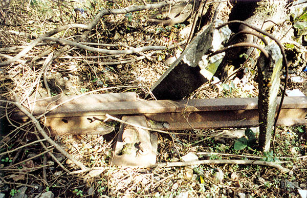
An original concrete post and an old rail that was missed by the scrap metal merchants.
(Mar 2003)
Heading toward the Palace Gates station site on a short stretch of the track bed that hasn't been built on.
The housing is built slightly south of the station site and covers the south-western two-thirds of it.
(photo: Feb 2013)
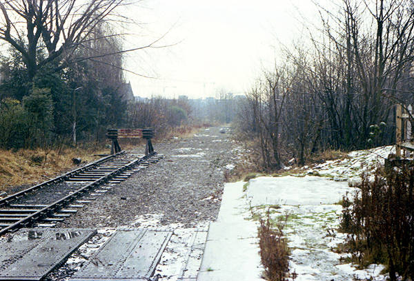
Looking towards the Wood Green direction in the early 1980s from the south-eastern tip of the western platform.
The covers seen on the track bed on the bottom left of the photo are believed to be the roof of the subway that passed under the line at this point.
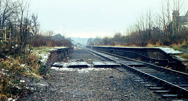
Palace Gates station looking north-west. A housing development stands on the south-eastern two-thirds of the platform area now - the photograph was taken from slightly north of where the housing developent is built across the line.
The covers seen on the track bed on the bottom left of the photo are believed to be the roof of the subway that passed under the line at this point.
For further photos of this station: www.disused-stations.org.uk
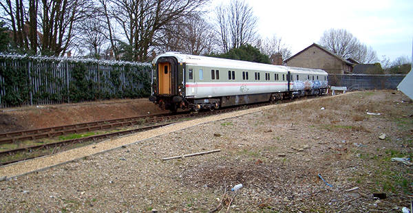
The truncated north-western end of Palace Gates platform area (looking south at the housing development built on its site), still in use as a siding for the adjacent Bounds Green Depot. There are no platform remains as such, only the banked up soil and stone mix seen here. The platforms continued in a north-western direction up to a point adjacent to Cornwall Avenue.
The footbridge over the line was located more or less where the two carriages join.
(Feb 2005)
Looking south again but from the eastern side of the tracks.
(photo: Feb 2005)
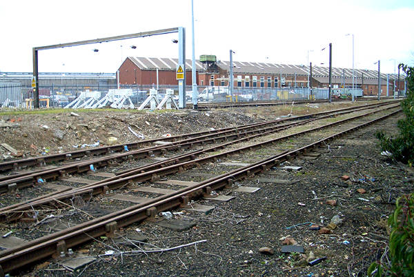
The north end of Palace Gates tracks as they join the GNER lines. Bounds Green depot is on the left.
(photo: Feb 2005)